Marine Project
Mapping the Southern Tanzanian Seabed
The largest benthic survey ever conducted in southern Tanzania — 6,737 seabed grids across four districts and two marine parks.
- Programme
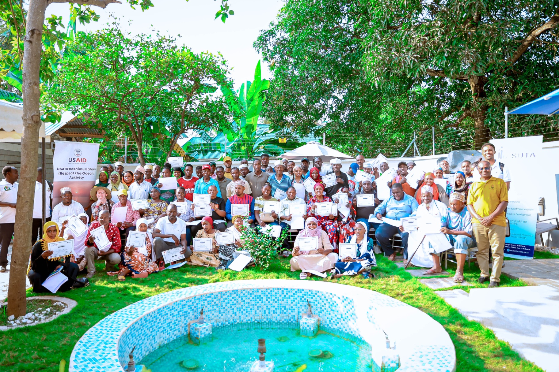
- Heshimu Bahari (Respect the Ocean)
- Client
- ASUTA
- Funder
- USAID
- Location
- Kibiti, Kilwa, Mafia and Lindi — including Mafia Island Marine Park and Mnazi Bay–Ruvuma Estuary Marine Park
- Period
- 2022 – 2024
- Status
- Completed
6,737
Seabed grids documented
4
Districts surveyed
2
Marine protected areas
50 m+
Survey depth range
The Task
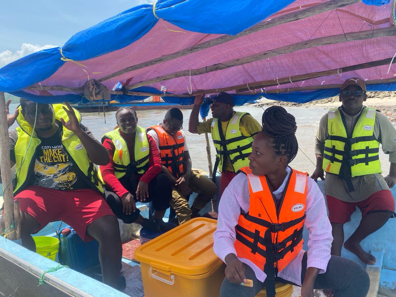
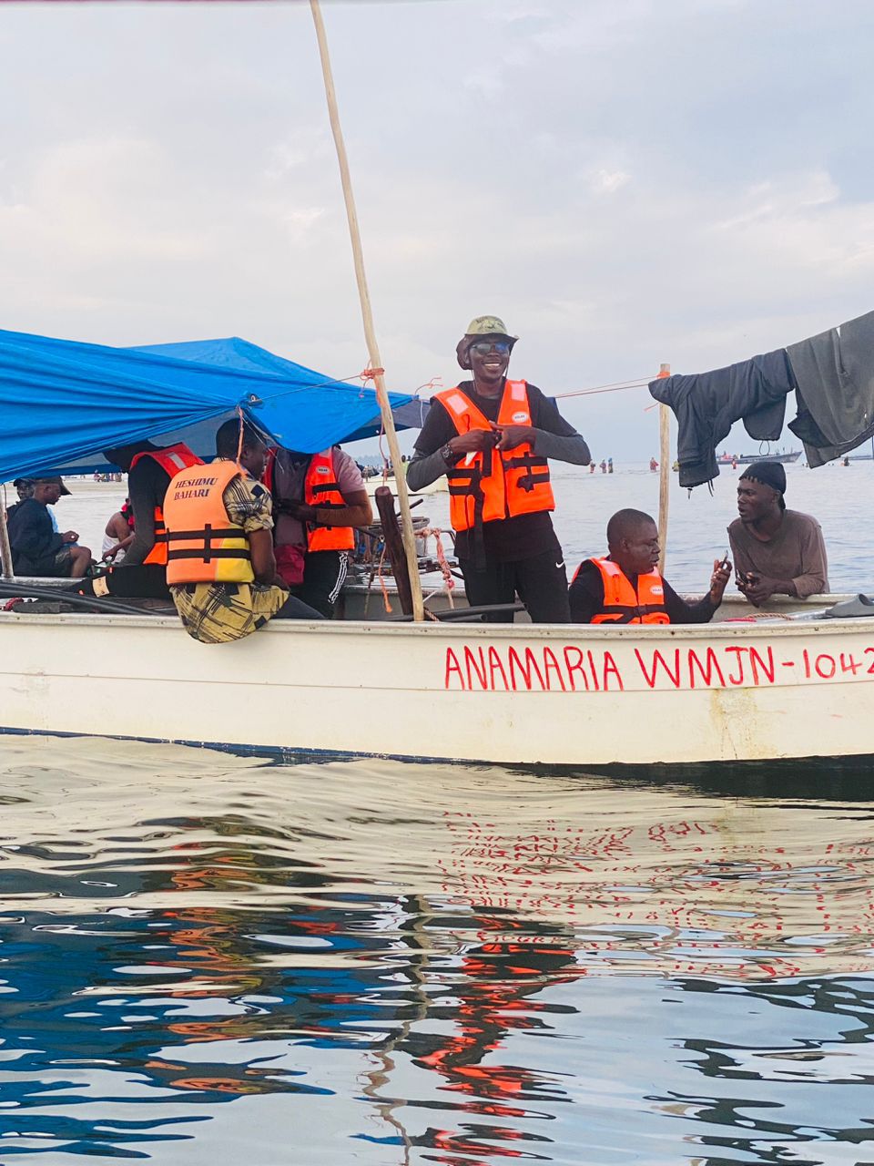
Following the success of the northern survey, the same approach was applied to the much larger and more remote southern Tanzanian coast. This region contains some of Tanzania's most ecologically important marine areas, including two major marine parks. The challenge was not only the science — it was the scale, the logistics, and the remoteness of the areas involved.
What We Did
We organised and led a large-scale seabed mapping operation across four districts and two marine protected areas. Teams worked along the same one-kilometre grid system, capturing benthic habitat photographs below 50 metres depth. All imagery was processed and uploaded to Coral-Net for scientific analysis and annotation. Given the technical demands of the work, we brought in specialist consultants with deep expertise in marine science to work alongside our core team.
What We Accomplished
We captured 6,737 high-resolution seabed grids across the southern coast — the largest benthic survey ever conducted in this region. The data produced a strong scientific evidence base to guide marine managed area planning, fisheries policy, and climate resilience strategies across southern Tanzania. It also contributed directly to opening opportunities for responsible private sector investment in the region's fisheries.
Work with us