Marine Project
Mapping the Dar es Salaam Seabed
The first systematic, science-based picture of what lies beneath Dar es Salaam's coastal waters — 2,156 seabed photographs across the Marine Reserves System.
- Programme
- Heshimu Bahari (Respect the Ocean)
- Client
- ASUTA
- Funder
- USAID
- Location
- Kinondoni and Kigamboni, Dar es Salaam
- Period
- 2022 – 2024
- Status
- Completed
2,156
Seabed photographs captured
1 km
Survey grid interval
50 m
Maximum survey depth
Coral-Net
International data platform
The Task
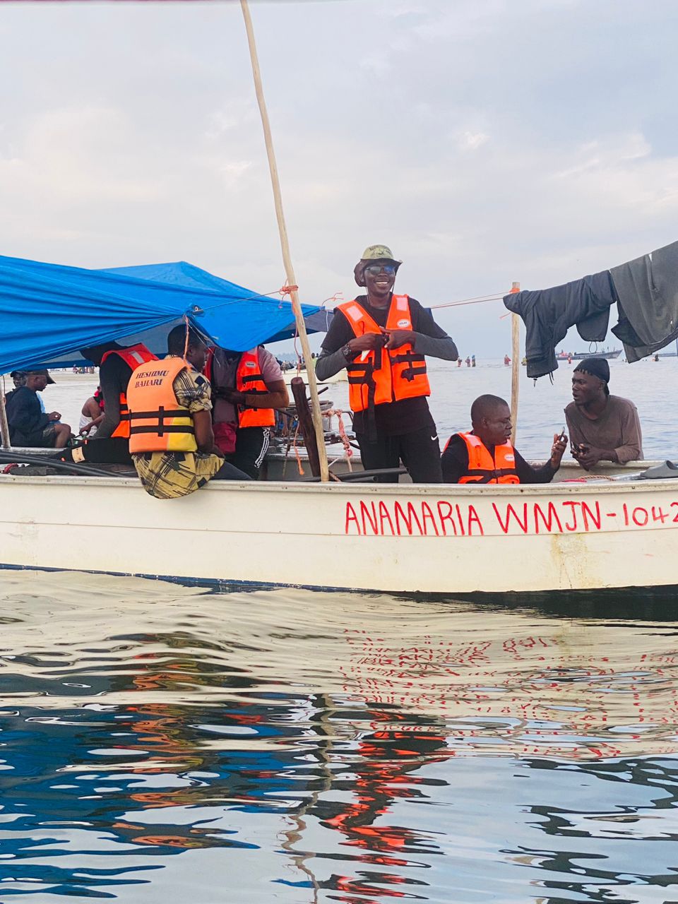
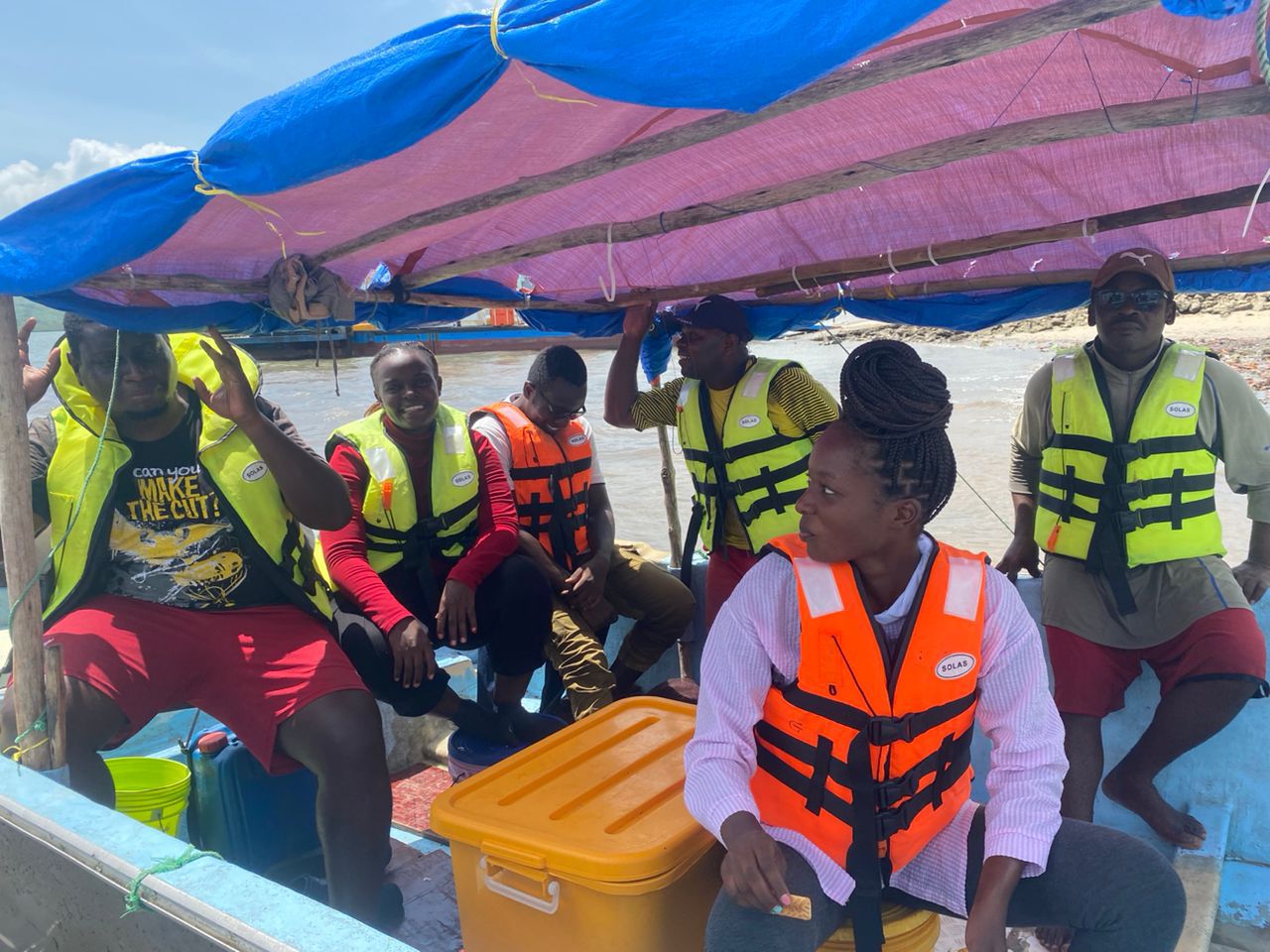
The Dar es Salaam coastline had never been fully and systematically mapped at the seabed level. Without knowing what is down there — what habitats exist, how healthy they are, and where the most important areas are — it is very difficult for managers and policymakers to make good decisions about protecting the ocean. ASUTA was given the task of carrying out a detailed underwater survey of the northern Dar es Salaam seascape to fill this gap.
What We Did
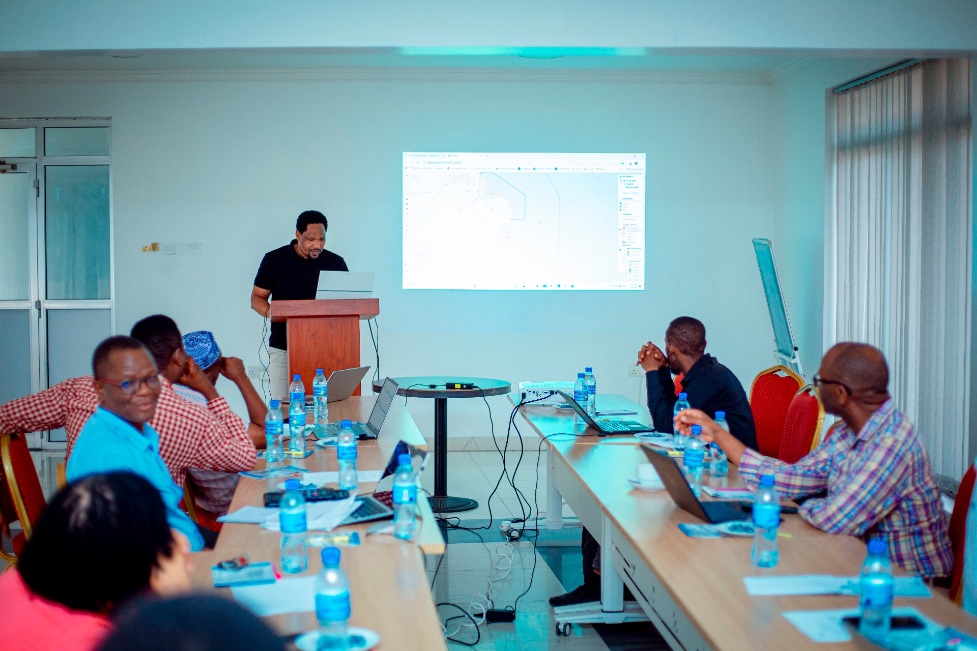
We deployed a team of marine scientists and technical specialists who surveyed the ocean floor using a structured grid system, photographing the seabed at one-kilometre intervals down to depths of 50 metres. Every photograph was carefully documented, uploaded to an international marine science platform called Coral-Net, and analysed to identify what habitats were present and how healthy they were.
What We Accomplished
We successfully captured 2,156 high-resolution seabed photographs across the Dar es Salaam Marine Reserves System — creating the first systematic, science-based picture of what lies beneath Dar es Salaam's coastal waters. This data now serves as the foundation for conservation planning, marine park management, and future monitoring of change over time in this seascape.
Work with us